Laboratory of Geodesy and Geodetic Applications
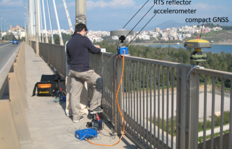
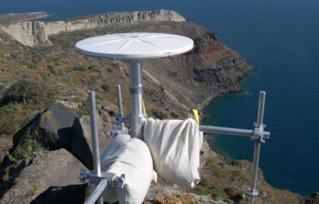
The Laboratory of Geodesy and Geodetic Applications was established in 1974.. The lab contributes to studies and research in the field of theoretical and applied Geodesy in Civil Engineering. Emphasis is given to measurements, evaluation, and interpretation of deformations of the ground, and of modern and ancient constructions, due to seismotectonic and geotechnical effects. The lab is equipped with high level instruments (100Hz GNSS receivers, robotic total stations, laser scanners, and control equipment, such as LVDT, 1-D oscillation generators, etc.).
Current Research Domains:
- Metrology
- Applications of the Theory of Error Propagation
- Parameters of seismic faults through inversion of geodetic data
- Measurements of small scale movements/deformations of large constructions
- Landslide kinematics and definitions of micro-topographic variations due to geotechnical effects
- Monitoring of static and dynamic deformations of large scale constructions (bridges, dams, tunnels, etc)
- Definition of geodetic datum using non-instrument monitoring of sea level fluctuations
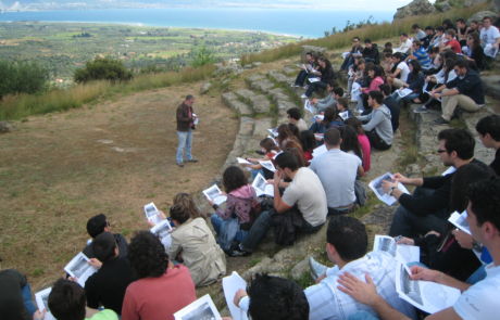
- Archaeo-Seismology, Palaeo-Seismology
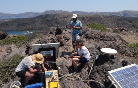
- Monitoring of Santorini volcano
- Survey and studies of ancient constructions (harbours, theatres, etc)
PERSONNEL
Director of the Geodesy and Geodetic Applications Laboratory is the Assist. Professor Christoforos Pappas. Members of the Laboratory are Assist. Professor Christoforos Pappas (email: cpappas@upatras.gr), Emeritus Professor S. Stiros (email: stiros@upatras.gr) and P. Triantafyllidis, Laboratory Teaching Staff (email: ptriant@upatras.gr).

