|
GEODESY
| SEMESTER | 8th or 10th |
|---|---|
| eclass | https://eclass.upatras.gr/courses/CIV1750/ |
| Details | http://www.civil.upatras.gr/index.php/odhgos/ |
| Instructor | PAPPAS CHRISTOFOROS |
| LANGUAGE OF INSTRUCTION and EXAMINATIONS | Greek. |
| Credits ECTS | 5 |
| Erasmus+ | Υes |
| Code | CIV_8356Α |
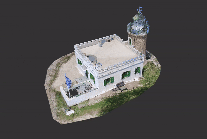
| The design and construction of modern engineering projects and the study and management of natural hazards (fires, floods, etc.) require detailed characterization of the spatio-temporal evolution of geophysical phenomena (e.g., topography, land use, urban/forestry zones, etc.) using geodetic instruments (e.g., robotic total stations, laser scanners) and remote sensing observations. The course aims to familiarize students with basic concepts of Geodesy and Geoinformatics in the ever-evolving field of Civil Engineering, making use of new technologies and combining field measurements with remote sensing data for modern applications. Upon successful completion of the course the student will be able to:
(1) Organize and perform field work involving the use of modern Geodetic instruments. (2) Process geospatial data with Geographic Information Systems (GIS). (3) Combine field measurements with large databases to characterize geophysical phenomena at various spatio-temporal scales. (4) Analyse and visualize spatio-temporal data using advanced Geostatistical methods and specialized software (e.g., AutoCAD, R/Rstudio, QGIS). (5) Present the results of the coursework in a technical report. |