1. Satellite Geodesy and Applications
– Theoretical background
– Satellites for geodetic applications (GPS/GNSS), measurement types and their
characteristics
– Combination of ground-, airborne- and satellite-observations for monitoring
displacements/deformations in natural landscapes and infrastructure.
2. Remote Sensing and Applications
– Theoretical background
– Types of instruments/sensors, uses and interpretation of remote sensing measurements in
Civil Engineering applications.
– Use of RADAR (e.g., Synthetic Aperture Radar), LASER (LiDAR, Terrestrial Laser Scanner),
and multispectral imagery (e.g., infrared thermal cameras) for monitoring physical
processes and infrastructure.
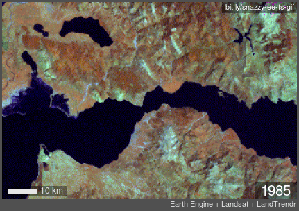
3.Familiarisation with large satellite databases and their analysis using specialized software
– Access, use, and synthesis of satellite data (e.g., GALILEO, MODIS, Landsat, Sentinel).
4. Geographic Information Systems
– Applications and exercises using specialized software (QGIS)
– Basic concepts of Geostatistics
– Cloud computing services (e.g., Google Earth Engine)
– Combined analysis of ground-based Geodetic observations and Remote Sensing data.
5. Application of the aforementioned methods to selected Civil Engineering problems
(topographic relief, landslides, characterization of displacements/depressions in
constructions and infrastructure, land use, navigation, delineation of flood-, drought-, fire-
prone zones, etc.).
Satellite Geodesy and Remote Sensing for Monitoring Natural Processes and Infrastructures
| Code | GPOL_R_16104 |
|---|---|
| Instructor | PAPPAS CHRISTOFOROS |
| eclass | https://eclass.upatras.gr/courses/CIV1839/ |
| Teaching Hours | 3 |
| Mandatory/Optional | Optional |
| Credits ECTS | 7,5 |
- Familiarization with numerical tools and software for accessing, exploring, and processing satellite observations that capture the spatiotemporal variability in physical processes and infrastructures
- Skill development in Geoinformatics and Geographic Information Systems (GIS) for synthesizing and analysing satellite observations useful in Civil Engineering applications